the map shows the way (red line) of the freighter Remuera from port chalmers in
new zealand direction to the panama channel. at longitude 171° 57.3 west and
latitude 46° 20.3 south the southern ssphere object was dropped into the ocean and
forms now the southern marking on the globe.
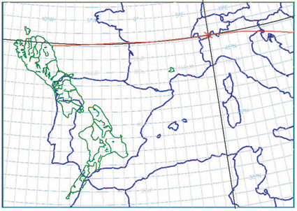
the maps (europe blue, new zealand green) were sponsored by:
ross marsden, meteorological service of new zealand limited (metservice)
http://www.metservice.co.nz